


La Hulpe 16 05 2017 Nathalie Demain

ThierryGABRIEL
User
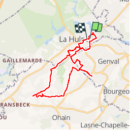

Length
15.9 km

Max alt
114 m

Uphill gradient
219 m
Km-Effort
18.8 km

Min alt
57 m

Downhill gradient
218 m
Boucle
Yes
Creation date :
2017-05-16 00:00:00.0
Updated on :
2017-05-16 00:00:00.0
5h26
Difficulty : Medium

FREE GPS app for hiking
 SityTrail
IGN / Geographical institutes
SityTrail Plus
The world is yours!
About
Trail Walking of 15.9 km to be discovered at Wallonia, Walloon Brabant, La Hulpe. This trail is proposed by ThierryGABRIEL.
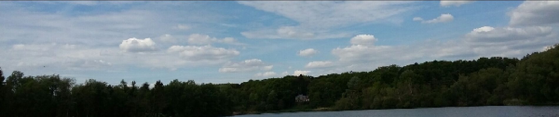
Photos


Positioning
Country:
Belgium
Region :
Wallonia
Department/Province :
Walloon Brabant
Municipality :
La Hulpe
Location:
La Hulpe
Start:(Dec)
Start:(UTM)
605181 ; 5621053 (31U) N.
Comments